A bird's-eye view of the 1970s
Other - other
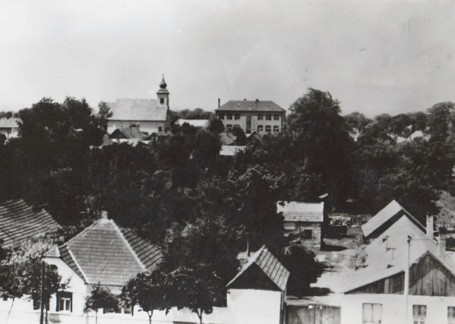
Vága, 1970s; The altitude of the village above sea level at the northern tip of the cadastre is 124 meters, at the southern border it is 118 meters, and in the center of the village, next to the church, it is 123. The land slopes to the south and southeast. Administratively, the village belongs to the Galánta District, and its border forms a common border with the settlements of Dolná Streda, Šintava, Šoporňa, Kajal, Nemešnebojsa and Galanta.